Backpacking journal
Tamarack Trail
September 2026 · 4 days · 52 km / 32.5 miles
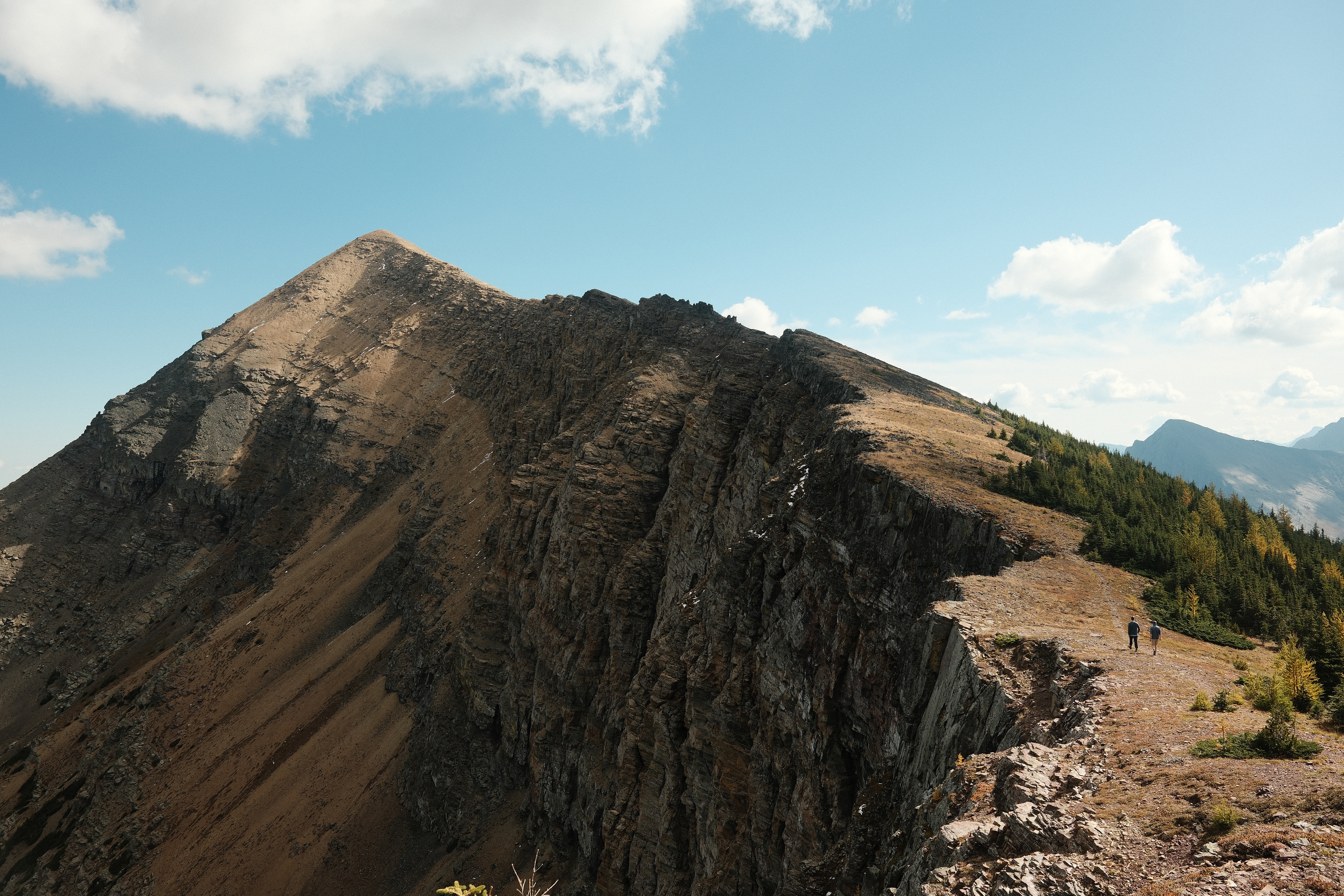
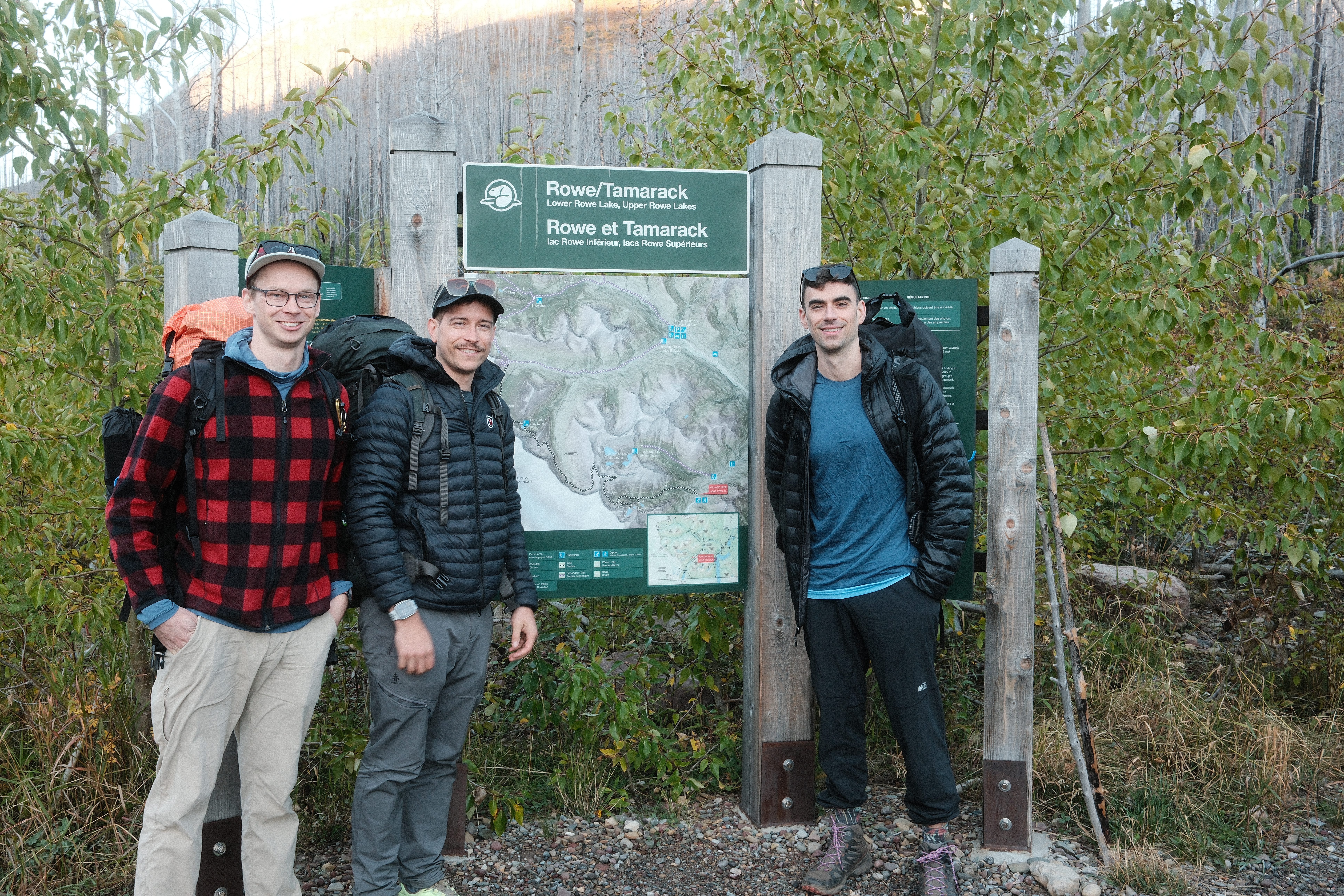
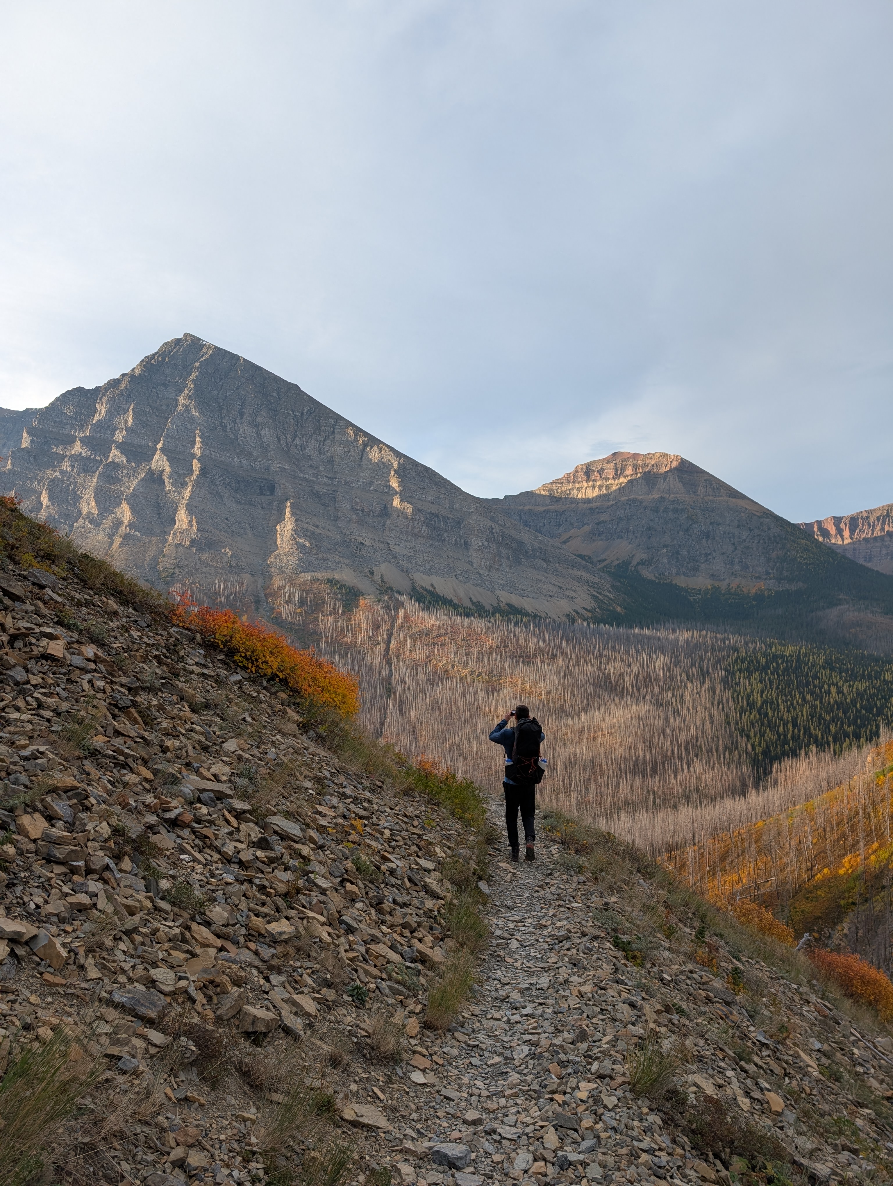
This is a small blog post about my four-day backpacking trip on the Tamarack Trail in September 2026, starting at Rowe trailhead and finishing at Red Rock Canyon.
Route
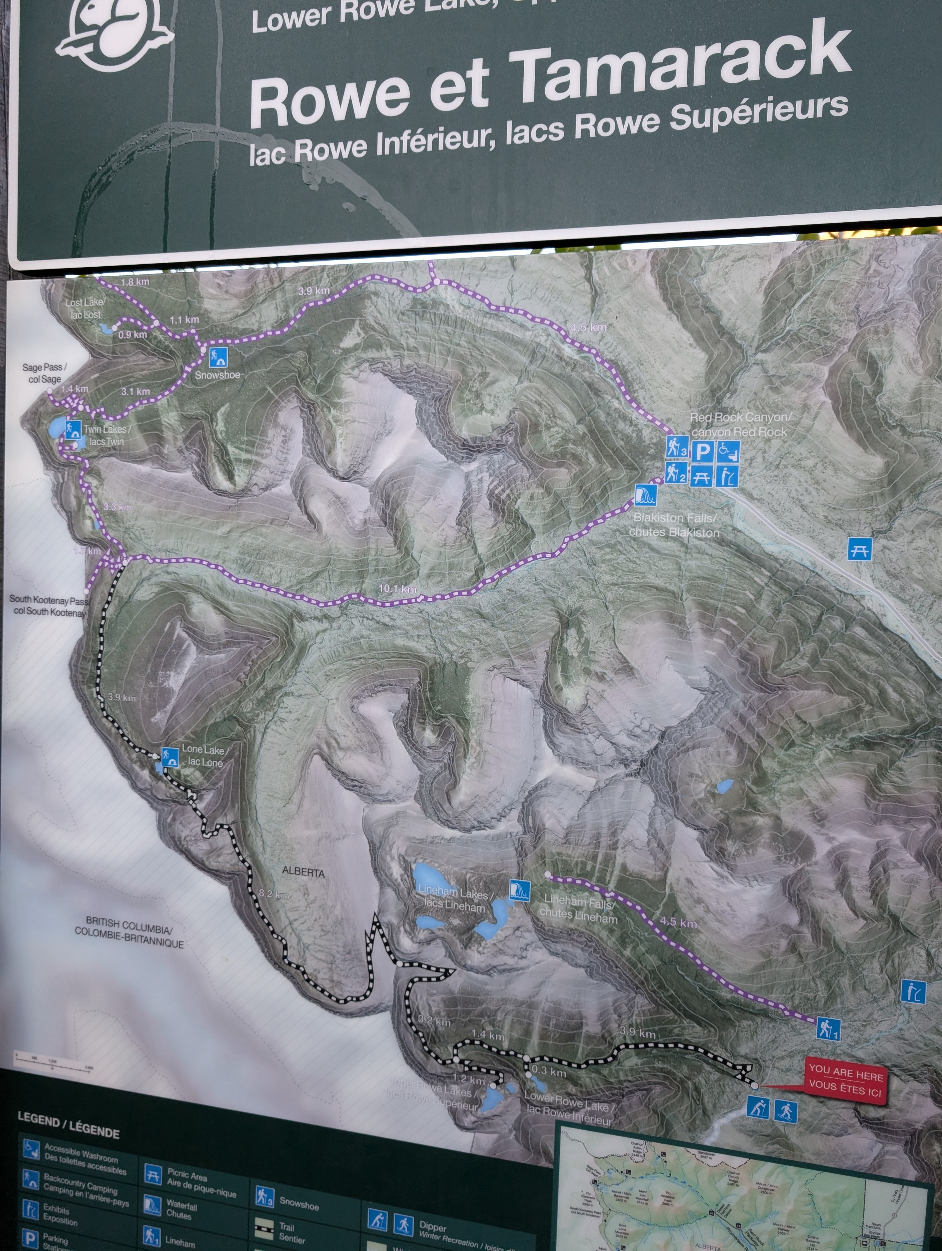
The route includes Mount Lineham summit, a Sage Pass out-and-back, and Avion Ridge, with nights at Lone Lake, Upper Twin Lake, and Goat Lake.
These distances and climbing totals are rough estimates, including the side trips.
| Day | Route, including side trips | Kilometres | Miles | Feet climbed |
|---|---|---|---|---|
| 1 | Rowe trailhead → Mount Lineham summit → Lone Lake | 21 | 13 | 4,500–4,900 |
| 2 | Lone Lake → Upper Twin Lake camp, plus Sage Pass out-and-back | 10.5 | 6.5 | ~1,100 |
| 3 | Twin Lakes → Avion Ridge → Goat Lake | 13.5 | 8.5 | 2,600–3,100 |
| 4 | Goat Lake → Red Rock Canyon parking | 7 | 4.5 | ~0–100 |
| Total | 52 | 32.5 | 8,200–9,200 | |
Select any photo to open the full-resolution original.
Background
To write: why I chose this trip, planning and permits, and getting to and from the trailheads.
Day 01
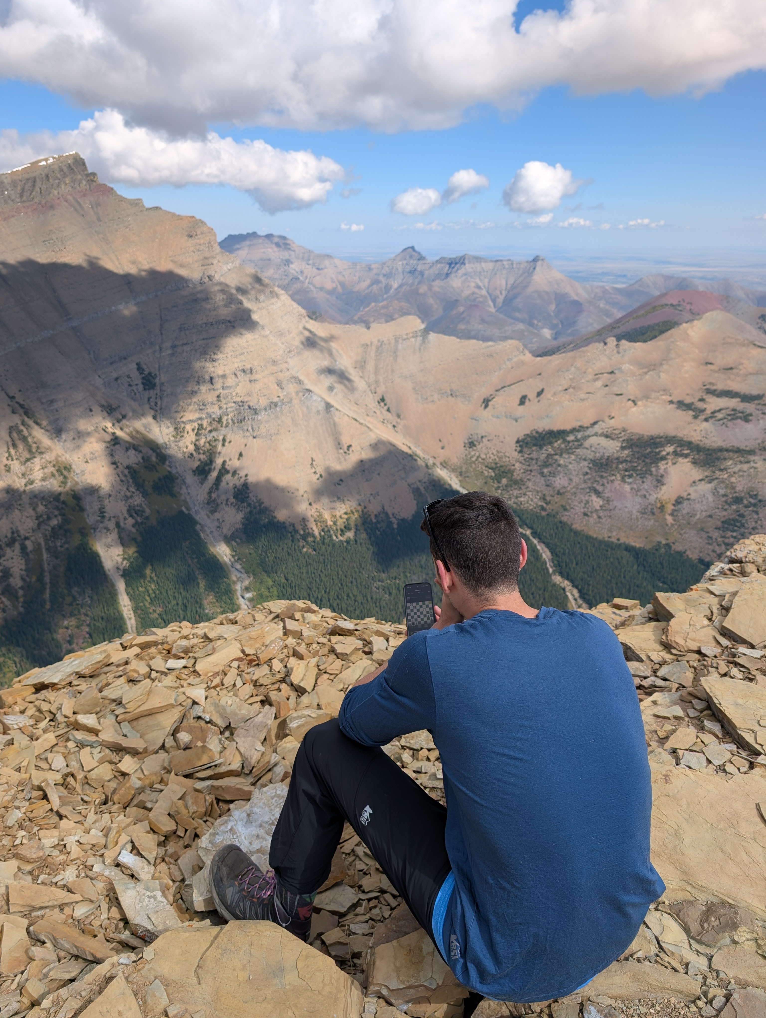
Rowe trailhead → Mount Lineham summit → Lone Lake
21 km / 13 miles4,500–4,900 ft. ascent
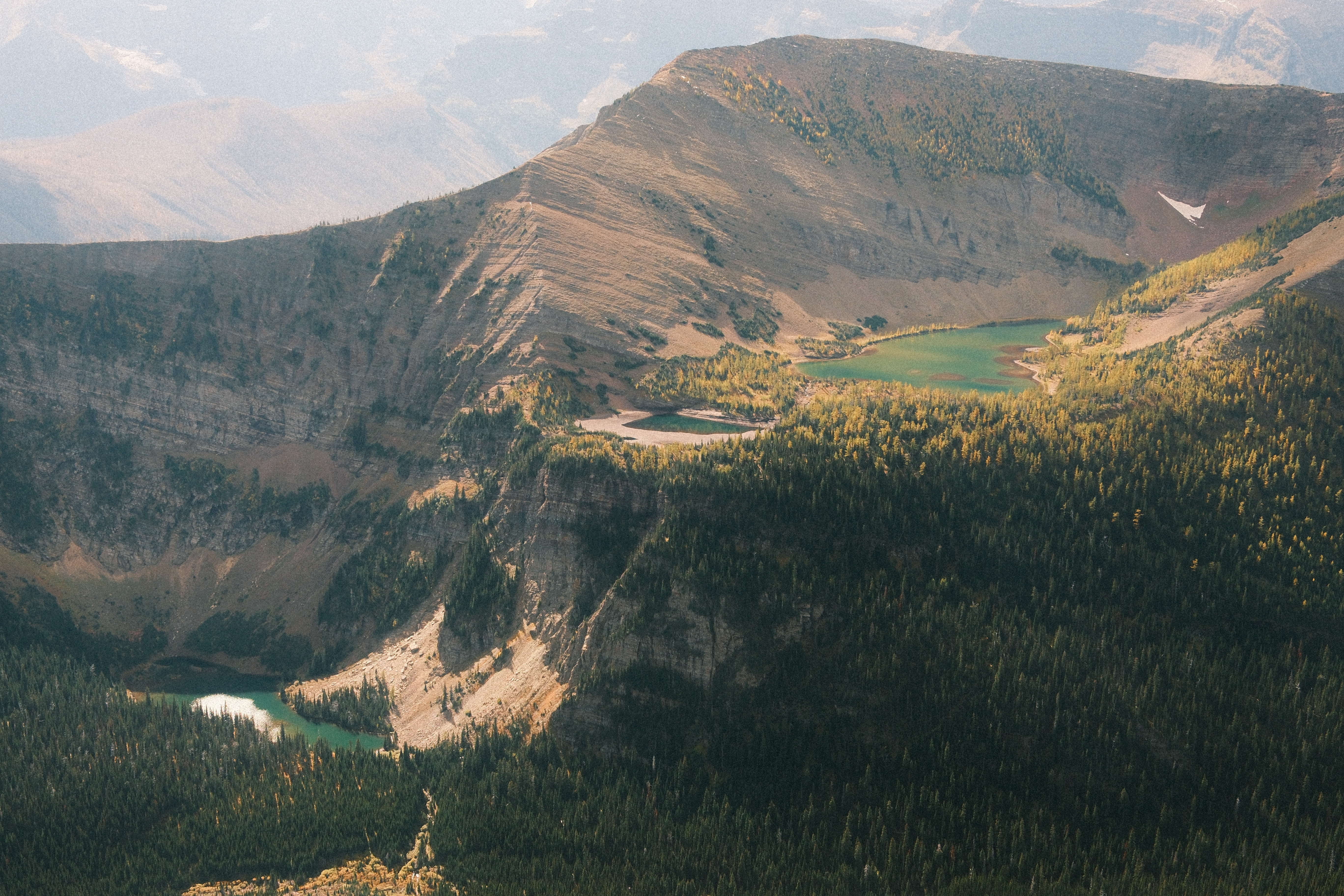
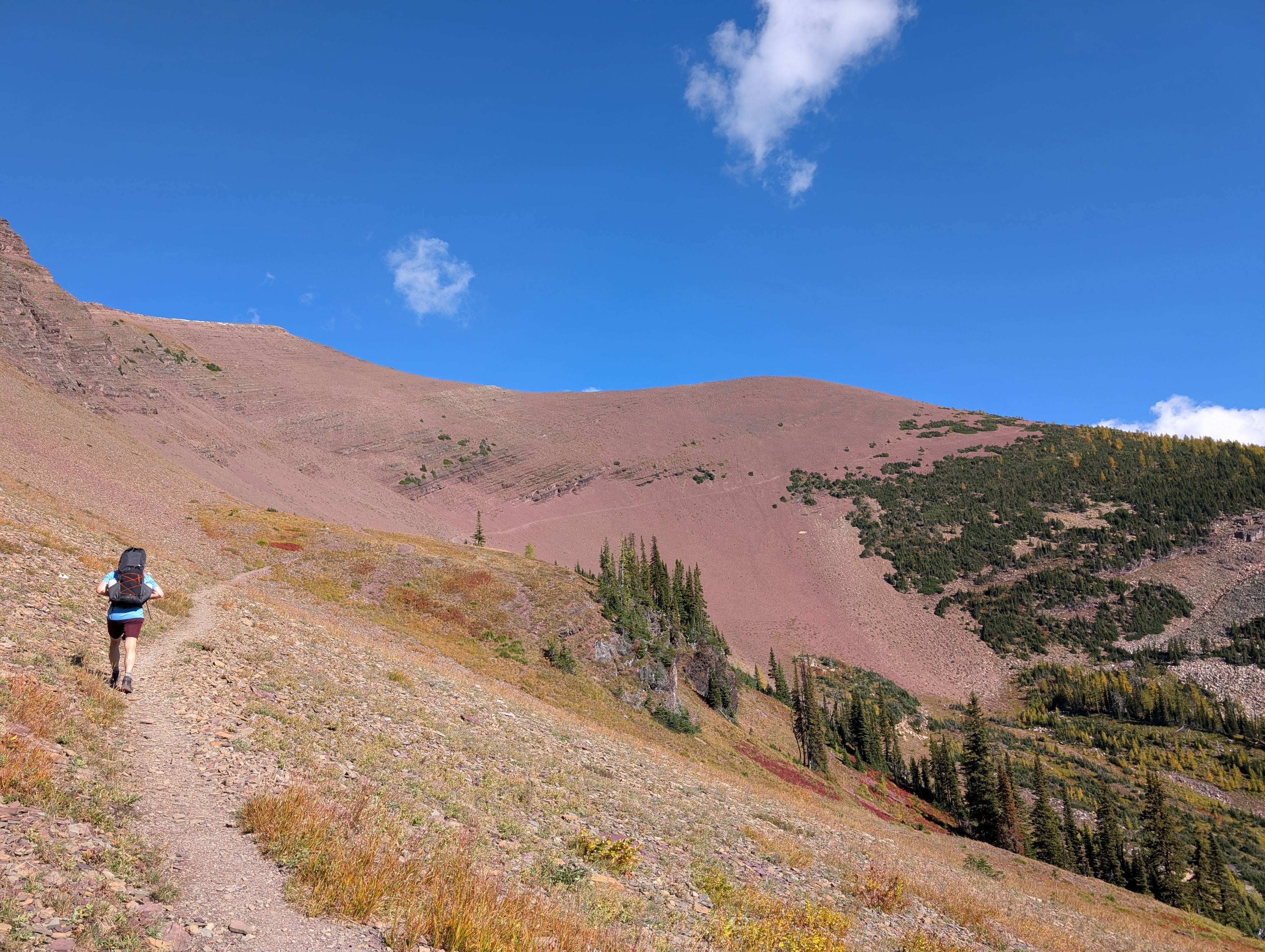
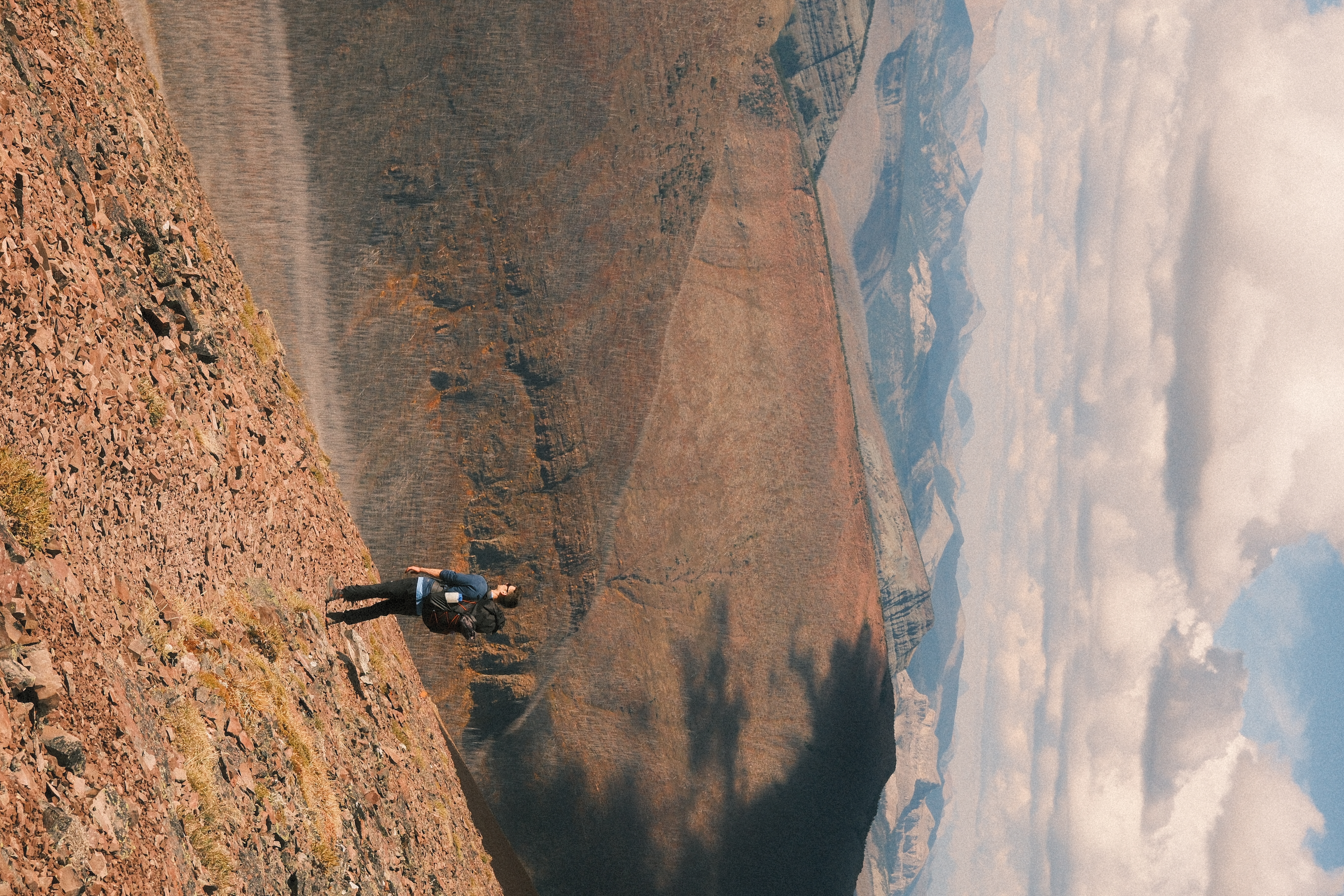
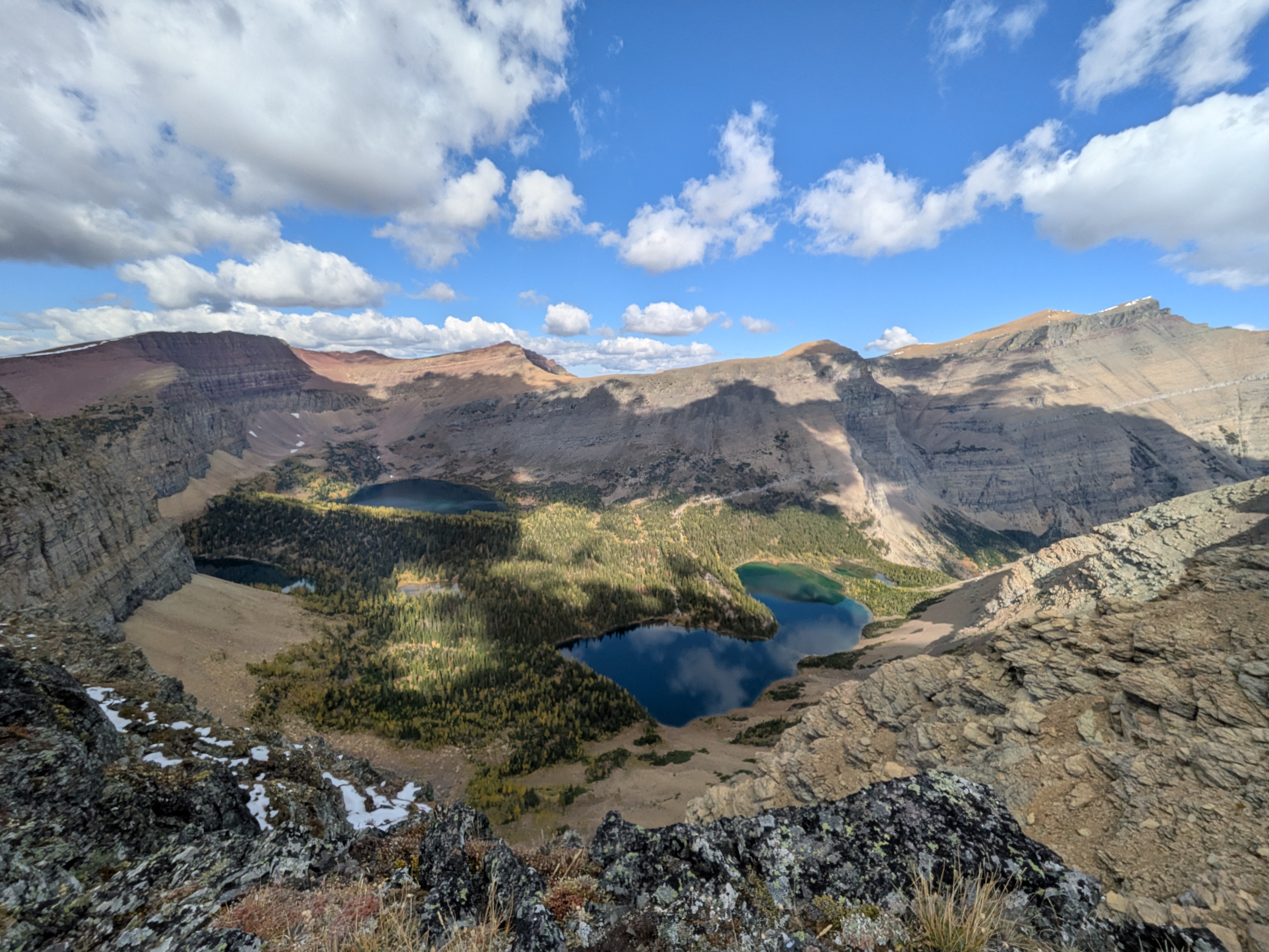
To write: starting at Rowe trailhead, the Mount Lineham summit side trip, and the first night at Lone Lake.
Day 02
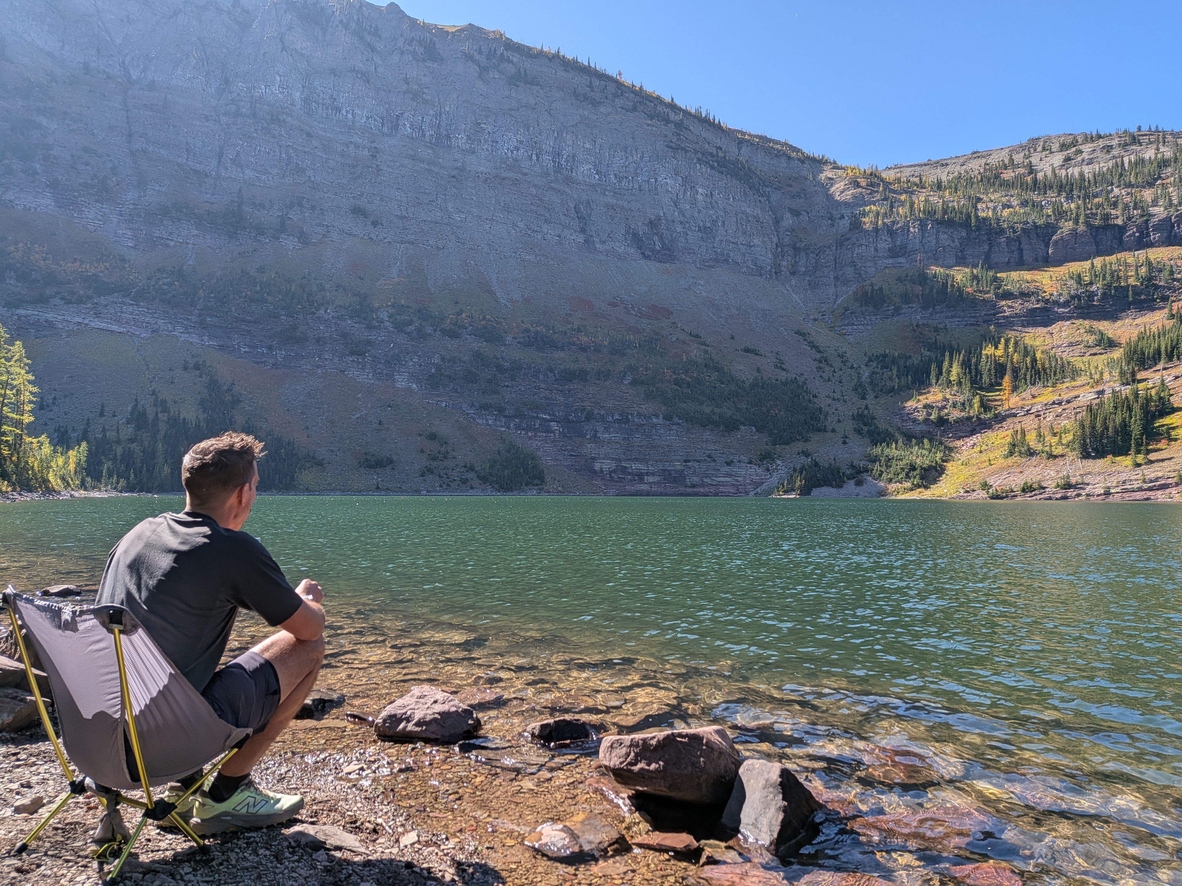
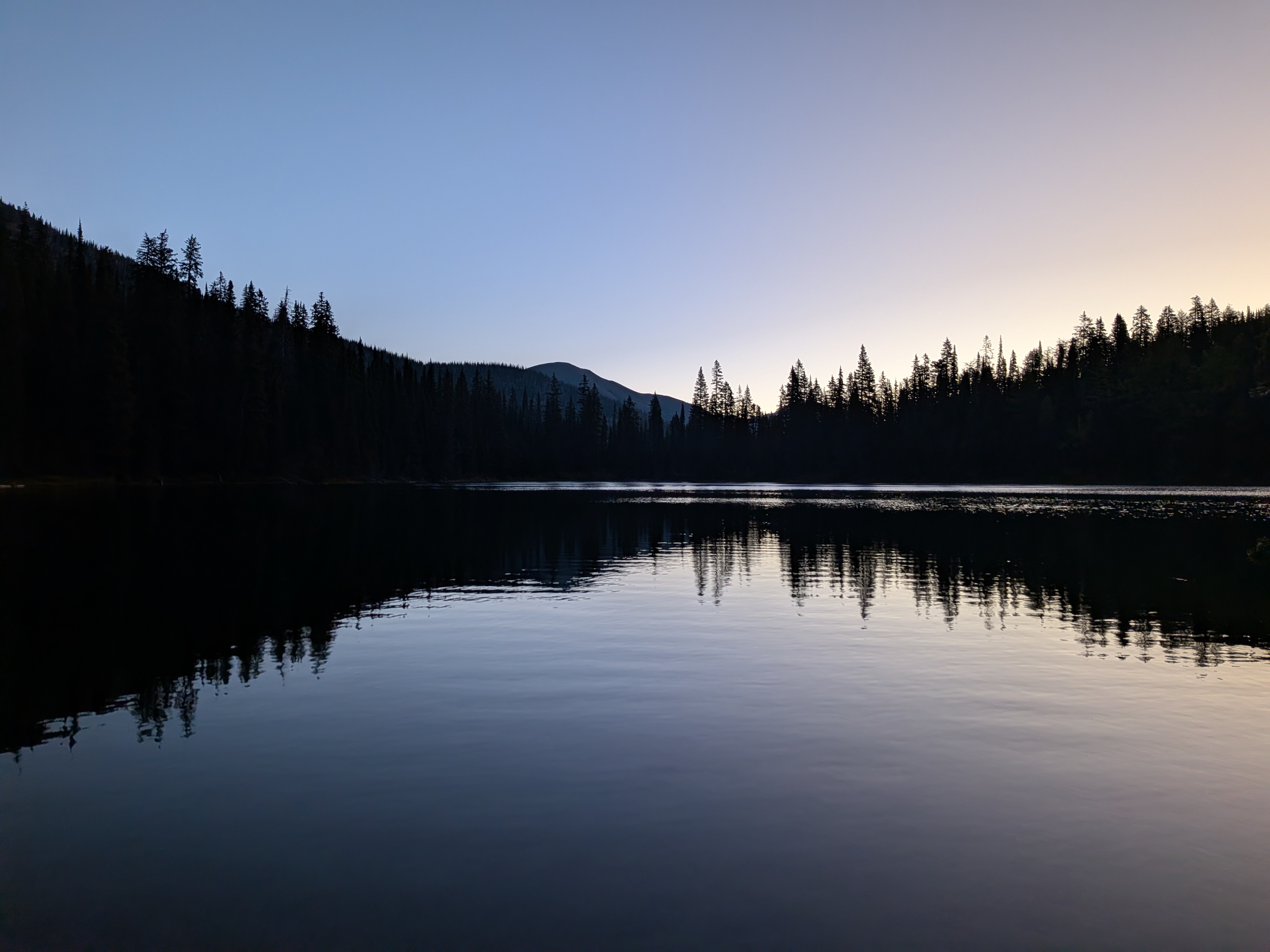
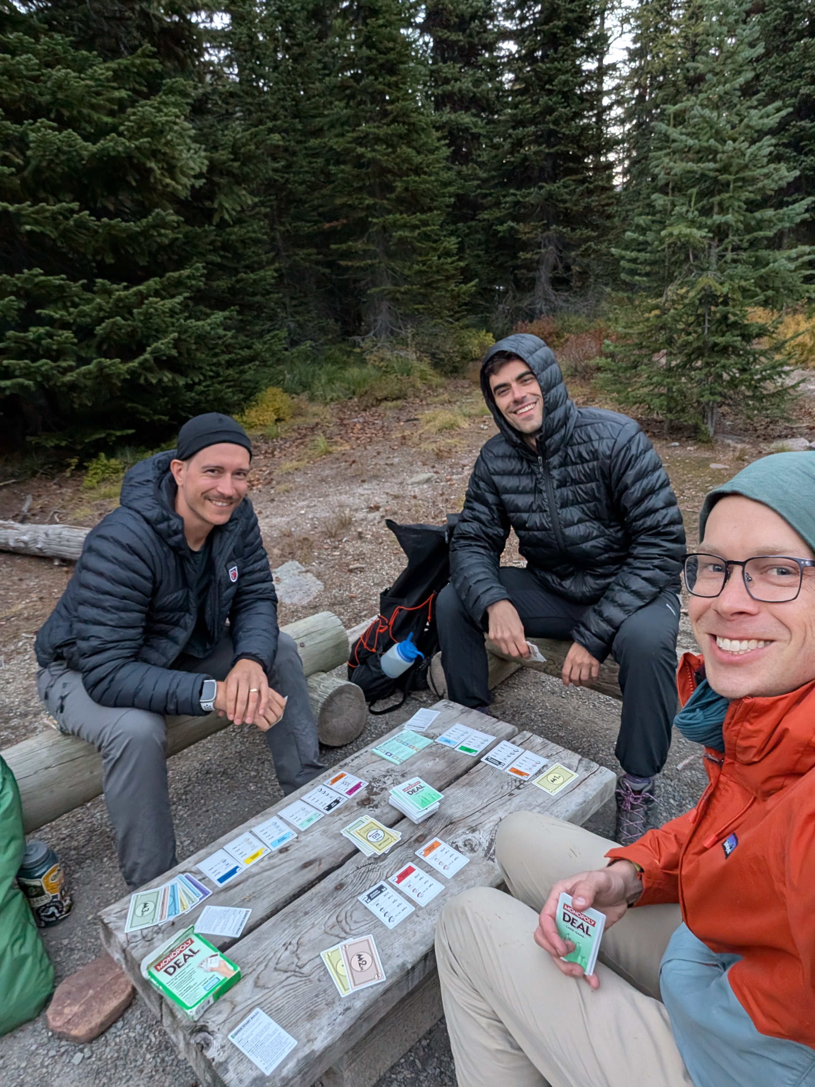
Lone Lake → Upper Twin Lake camp, plus Sage Pass out-and-back
10.5 km / 6.5 miles~1,100 ft. ascent
To write: the hike from Lone Lake to Upper Twin Lake, the Sage Pass side trip, and camp.
Day 03
Twin Lakes → Avion Ridge → Goat Lake
13.5 km / 8.5 miles2,600–3,100 ft. ascent
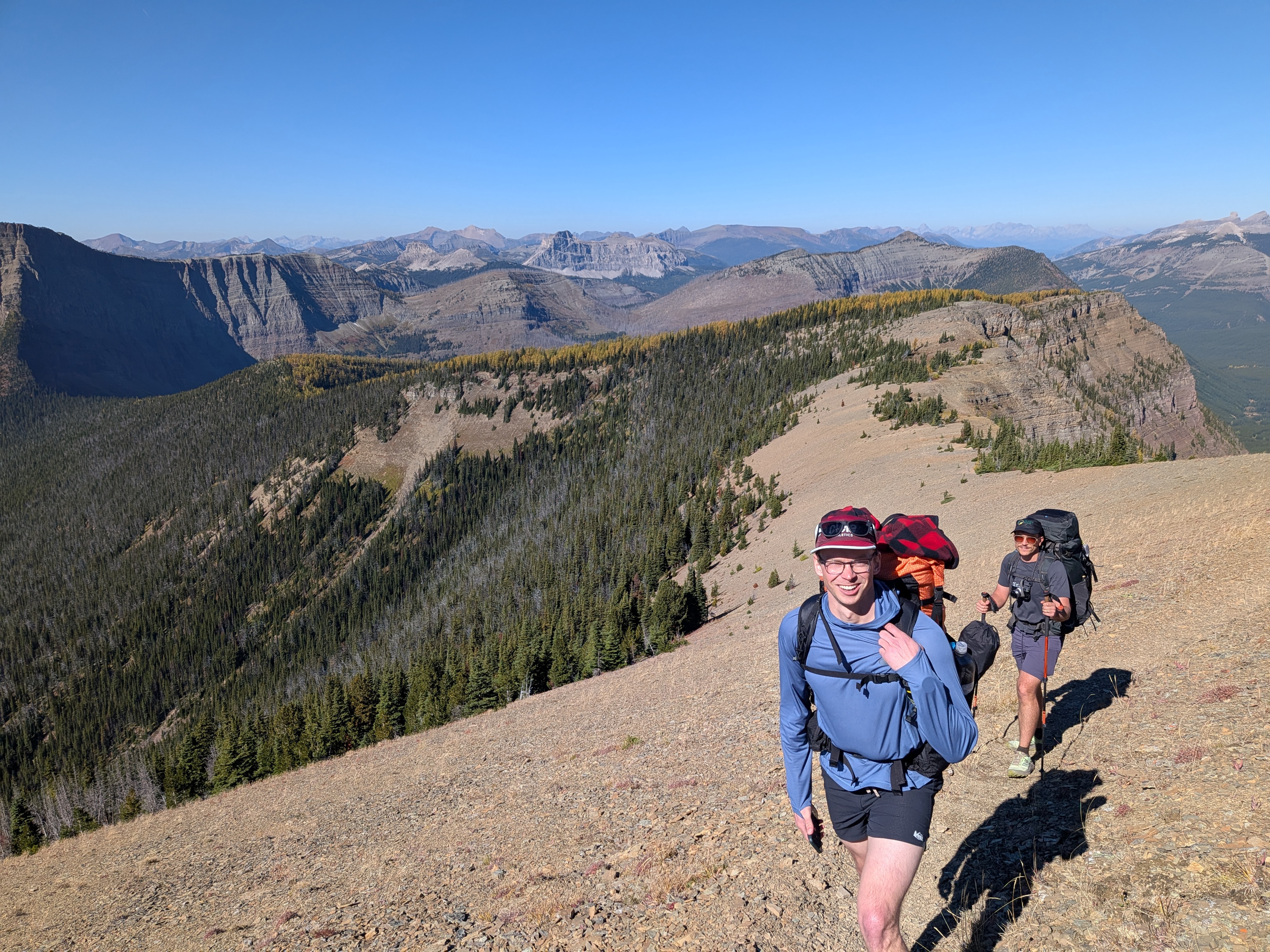
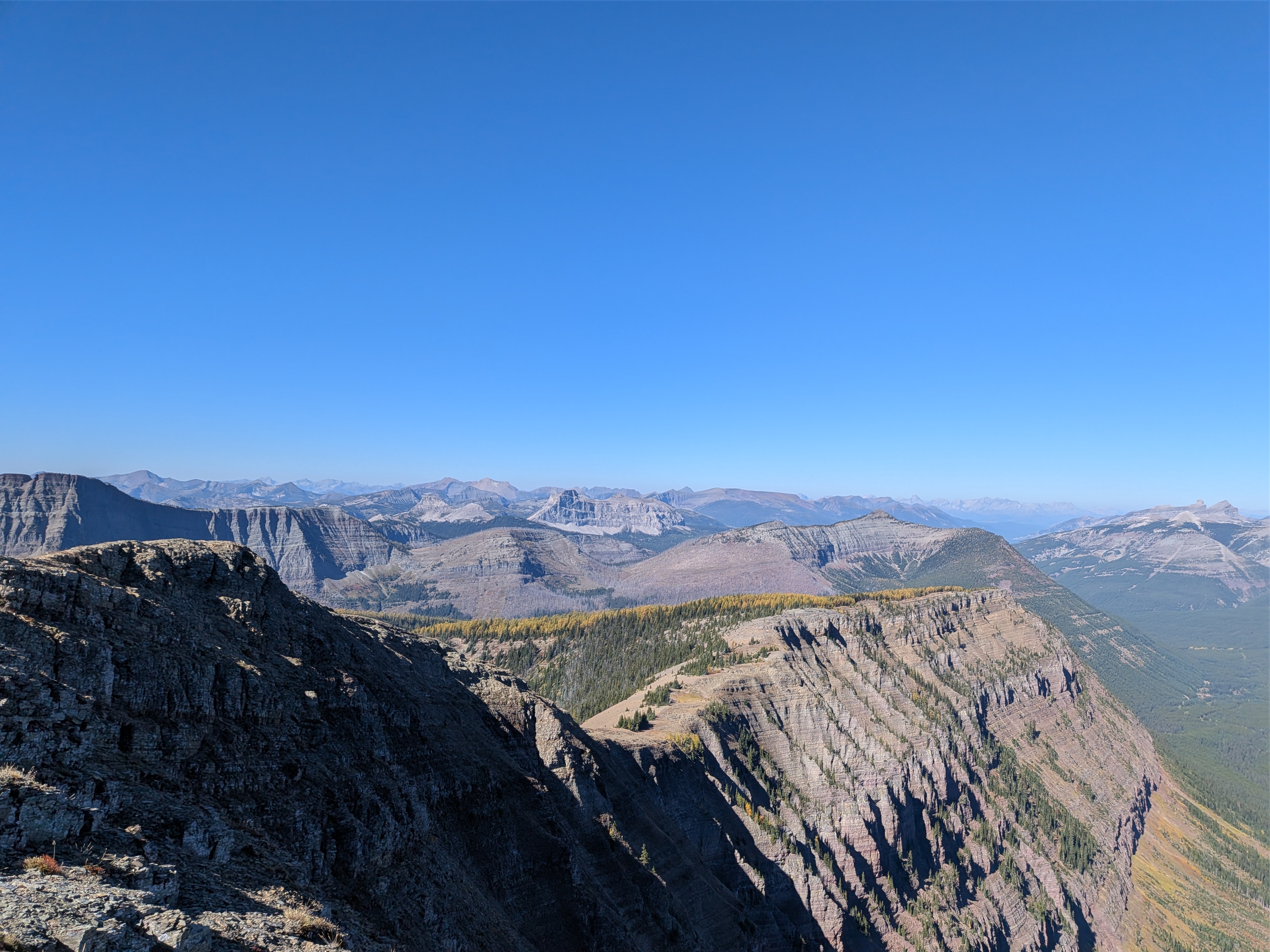
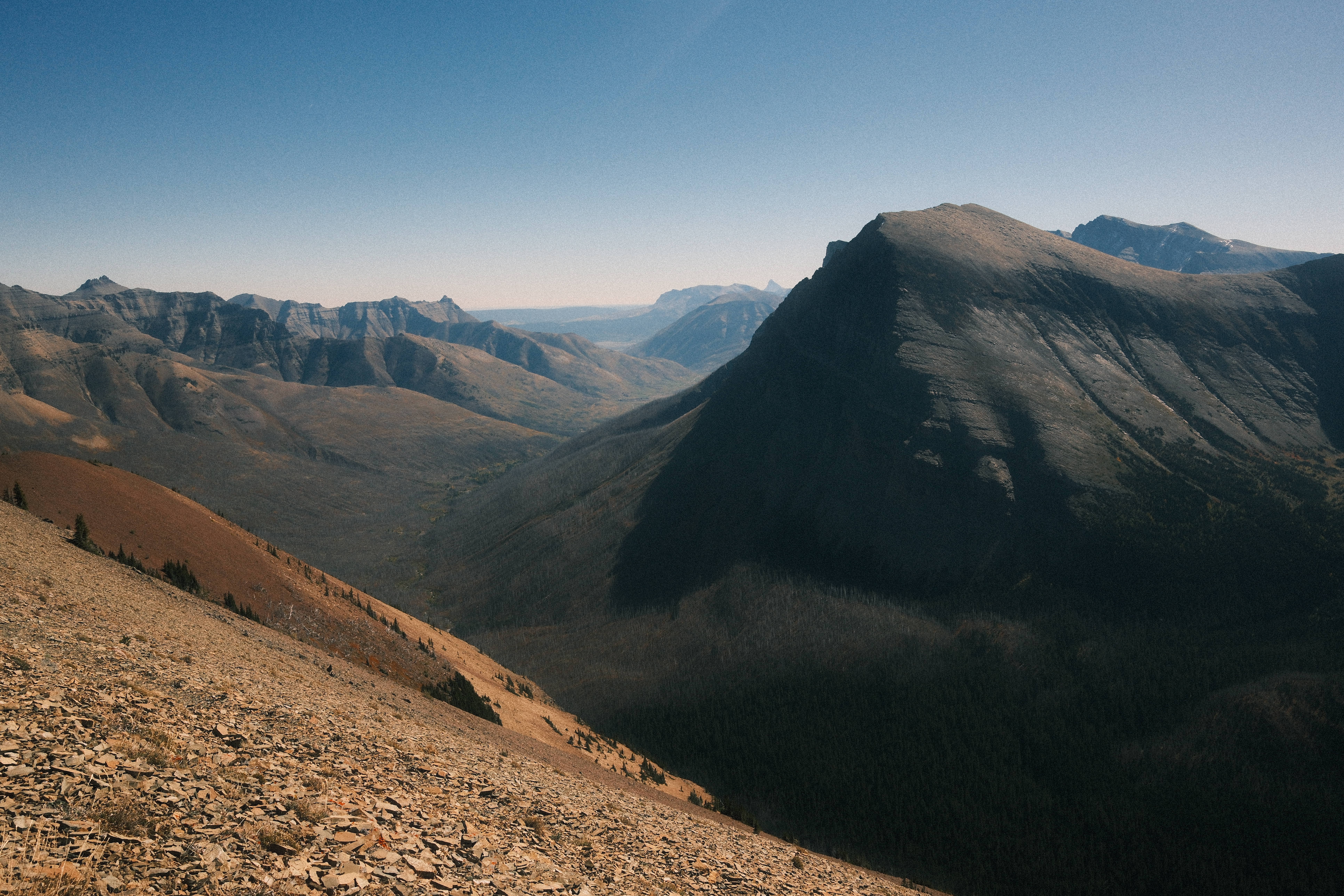
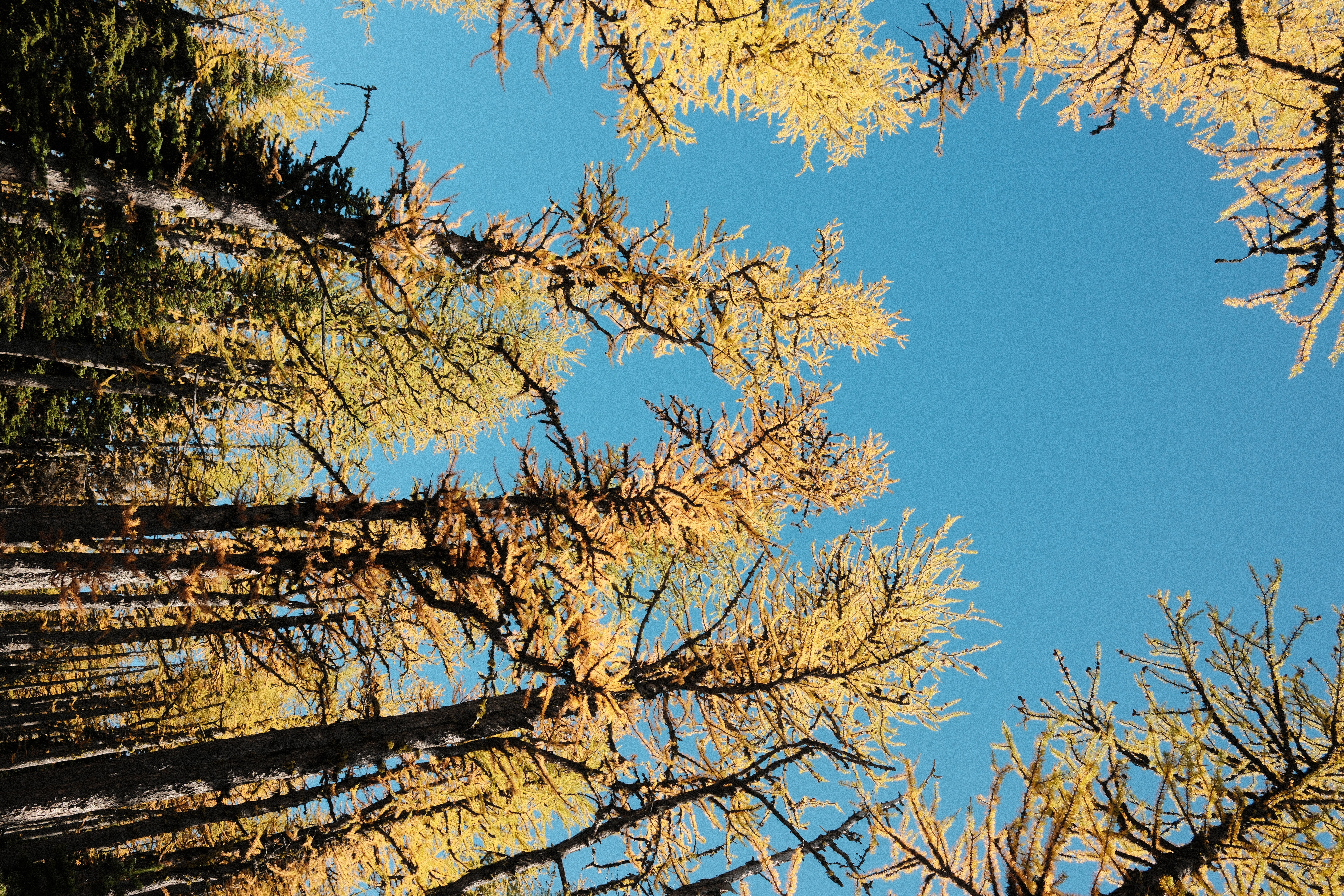
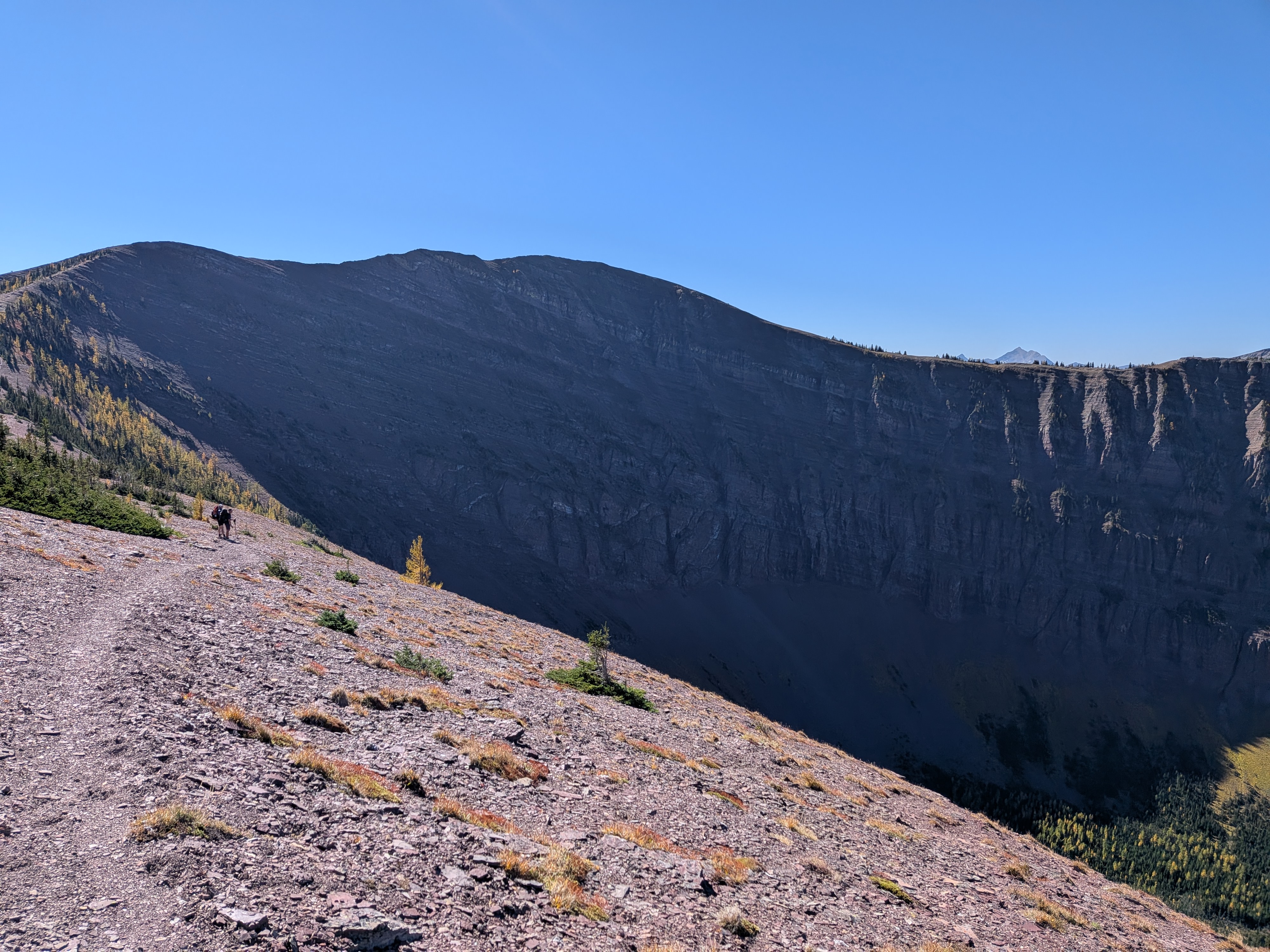
To write: leaving Twin Lakes, crossing Avion Ridge, and the night at Goat Lake.
Day 04
Goat Lake → Red Rock Canyon parking
7 km / 4.5 miles~0–100 ft. ascent
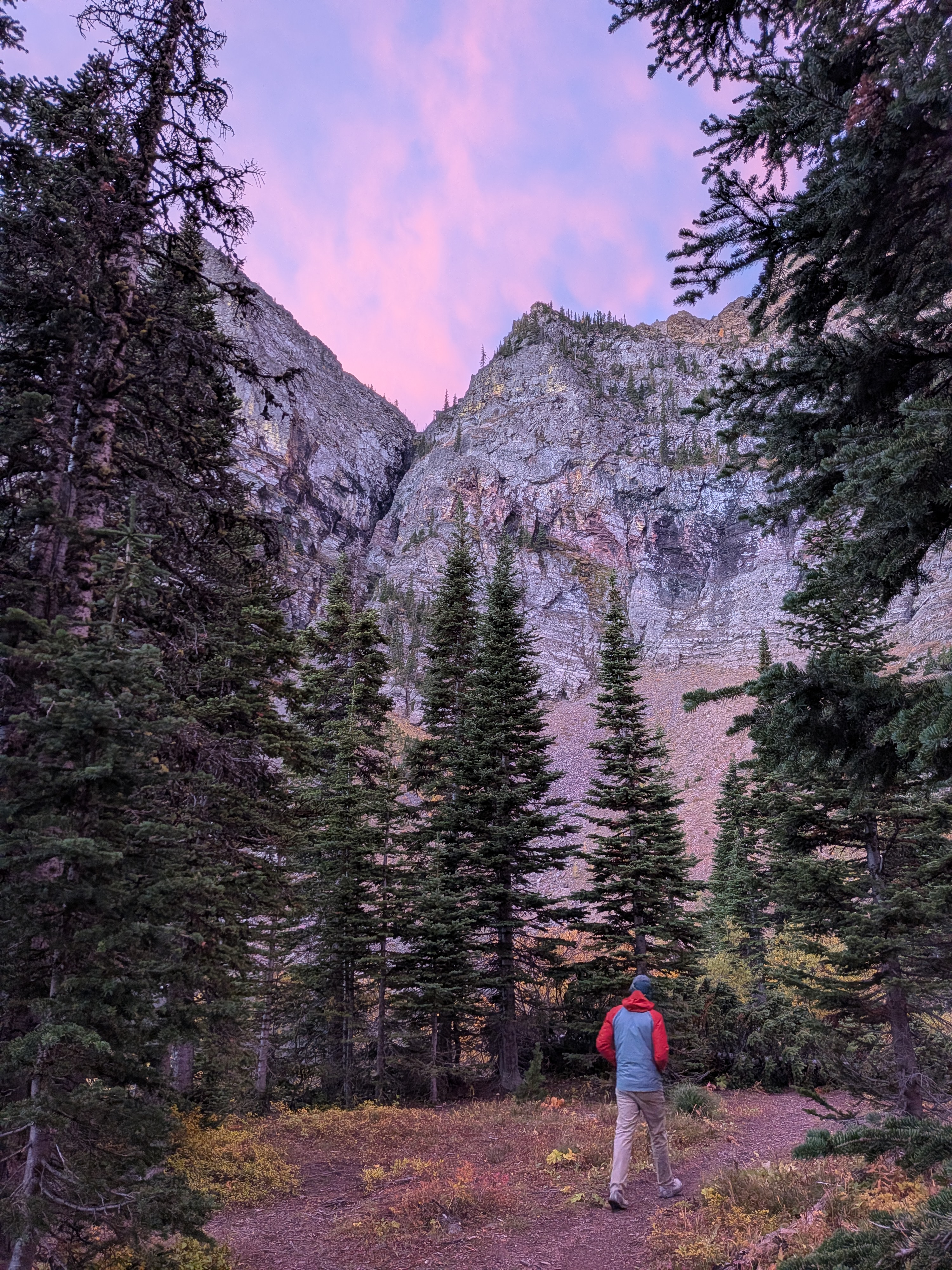
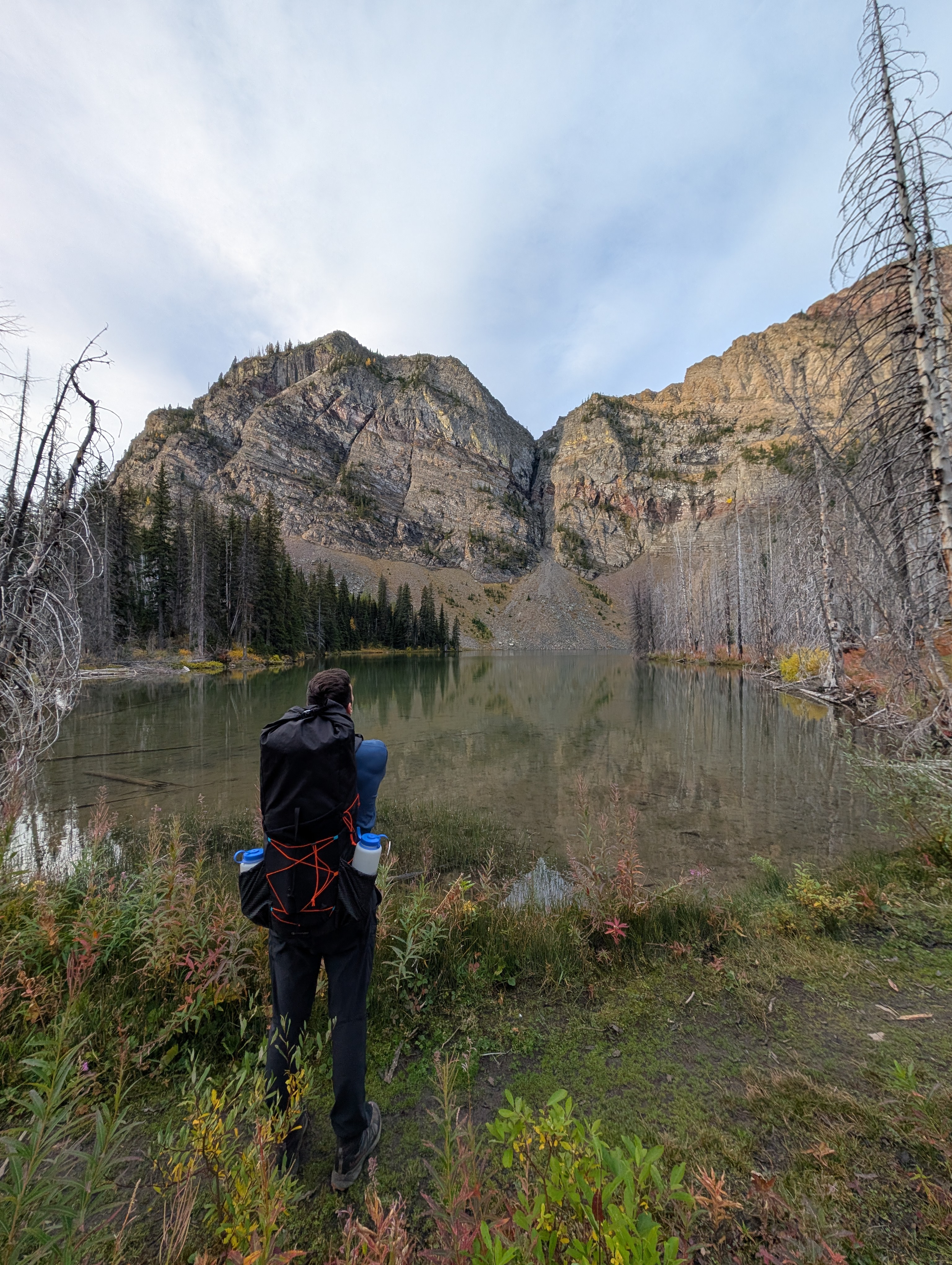
To write: the hike out from Goat Lake to Red Rock Canyon and wrapping up the trip.
Other Notes
- Gear: To write: what worked and what I would change.
- Food: To write: meals, snacks, and how much I packed.
- Logistics: To write: permits, transport, and useful planning details.
References
Route descriptions and trip reports for the Tamarack traverse and its side trips. These published routes do not all match this itinerary: my Day 3 crossed Avion Ridge rather than taking the standard Snowshoe Trail connection from Twin Lakes. The distances and climbing totals above remain approximate, not GPS measurements.
- Parks Canada: hiking in Waterton Lakes National Park — official hiking information, trail distances, and links to current conditions and closures.
- Simon Ennals: Tamarack Trail — a multi-day trip guide and planning reference.
- Hiking Project: Tamarack Hike — an overview of the standard traverse and its campsites, described in the opposite direction, from Red Rock Canyon to Rowe Lakes trailhead.
- Hiking With Par: Mount Lineham and Rowe Lakes — a summit trip report with a route map and details of the approach from the Rowe/Tamarack trailhead. Its full day-hike totals include lake detours, so they are not directly comparable to my Day 1.
- Peaks and Streams: Sage Pass Peak and Sage Senior — details of the approach to Sage Pass from the Twin Lakes trail. The report continues to peaks beyond the pass; my side trip was only to the pass and back.
- Hiking Project: Goat Lake Trail and Snowshoe Trail — descriptions of the connected trails between Goat Lake and Red Rock Canyon, useful for understanding the Day 4 exit.